Your cart is empty.

Disclaimer: The crime data displayed in this tool is sourced directly from publicly available UK Police records. Reolink provides this tool solely for data visualization purposes to help users better understand local safety trends. Reolink does not alter, modify, or independently verify the original data, and assumes no liability for its absolute accuracy or completeness.


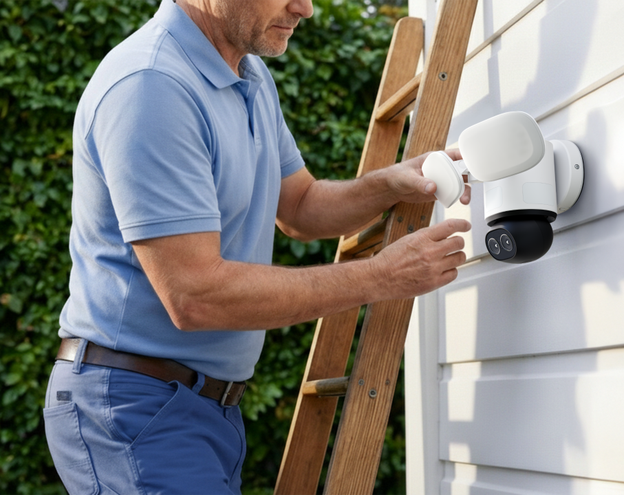
Advanced security technology with full-scene coverage.
Over 17 million units sold globally.
Local storage, customizable home security setups, and no monthly fees or privacy concerns.

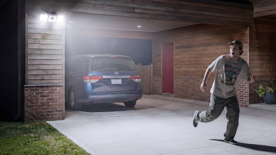
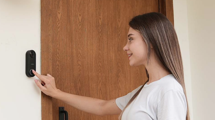
Reolink offers security solutions designed for every scenario, indoors or outdoors. Discover cameras with pan-tilt control, floodlights, and flexible configurations to meet your needs. This way you can build your own home security system with easy installation, local storage, no subscriptions, and stronger protection for your home.

At Reolink, our core mission is to make home and business security simple, accessible, and reliable. We created this Postcode Crime Checker to provide homeowners and renters with transparent, easy-to-understand insights into neighborhood safety. We believe that by understanding local crime trends, you can make more informed and proactive decisions about protecting your home and family.
Yes, absolutely! The crime map and all its features are completely free to use. You do not need to purchase a Reolink product, enter any payment details, or create an account to check crime rates in your area.
The data displayed on our map is sourced directly from official, publicly available UK Police databases (such as data.police.uk). We use this official data to generate user-friendly maps, charts, and heatmaps. Reolink acts strictly as a data visualization platform; we do not alter, modify, or independently verify the original police records.
If the numbers in your postcode seem high, there is no need to panic. Higher crime figures are often a reflection of population density, as urban or busy areas naturally record more incidents than quieter or rural regions. Additionally, the data represents a rolling 12-month period, which can make totals appear higher than day-to-day reality.
UK Police forces typically release new crime data on a monthly basis, with a slight delay for processing and verification. We regularly sync our Reolink crime map to ensure you are viewing the most up-to-date official statistics available.
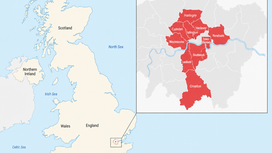
Our tool covers the majority of regions in England based on standard UK Police data availability.
If you notice rising crime rates – such as burglary or vehicle theft – in your postcode, it is a good idea to review your home security setup. Simple steps like securing doors and windows, joining a local neighborhood watch, and installing reliable Reolink security cameras or systems can help deter crime and improve peace of mind.
No. Your privacy is our top priority. We do not store, track, or link your postcode searches to you personally. The tool simply uses your input to retrieve and display relevant public crime data in real time.


Be Prepared, Be Ahead
Never miss Reolink hot deals, news, and updates tailored for you.
Be Prepared, Be Ahead
Never miss Reolink hot deals, news, and updates tailored for you.

Google, Google Play, Google Assistant and related marks and logos are trademarks of Google LLC. Amazon, Alexa and all related logos are trademarks of Amazon.com, Inc. or its affiliates. Mac and Safari are trademarks of Apple Inc. App Store is a service mark of Apple Inc., registered in the U.S. and other countries. Firefox and the Firefox logo are trademarks of the Mozilla Foundation in the U.S. and other countries. Other product and company names mentioned herein may be trademarks of their respective companies.